


A Team of Professionals, Passionate About New Technologies & Progress
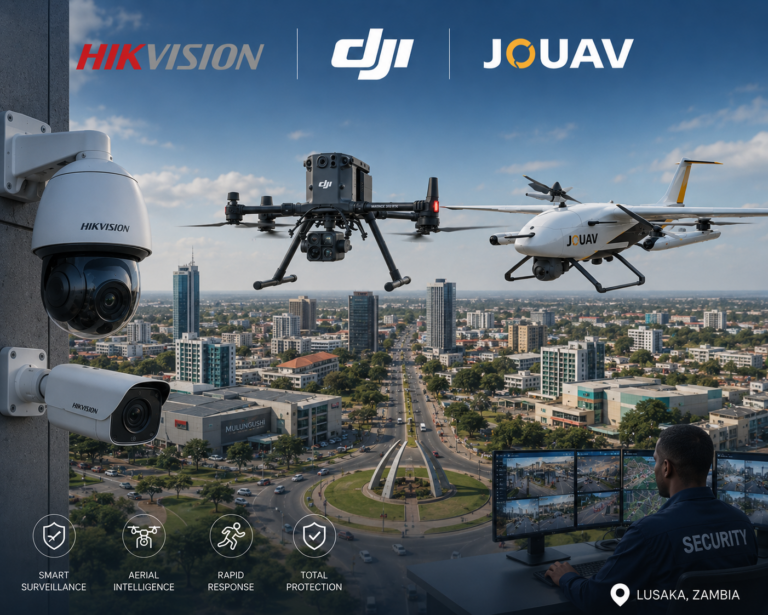
We are a full-spectrum security technology integrator, bridging air, land, maritime, and subsurface domains, providing both public and private institutions with intelligent and connected solutions.
Satisfied customers
A Full Range of Modern Security & Consumer Products & Services for Your Business
GIS is Zambia’s trusted partner for drone technology, integrated security, and precision geomatics, delivering advanced solutions for modern challenges.
Geomatic Integrated Systems (GIS) delivers cutting-edge technology for defence, national security, infrastructure protection, and geospatial intelligence. From drone systems and AI-powered surveillance to precision surveying and subsurface mapping, GIS provides integrated, real-time solutions across land, air, maritime, and subsurface domains.
Call: +260-9733-69719